
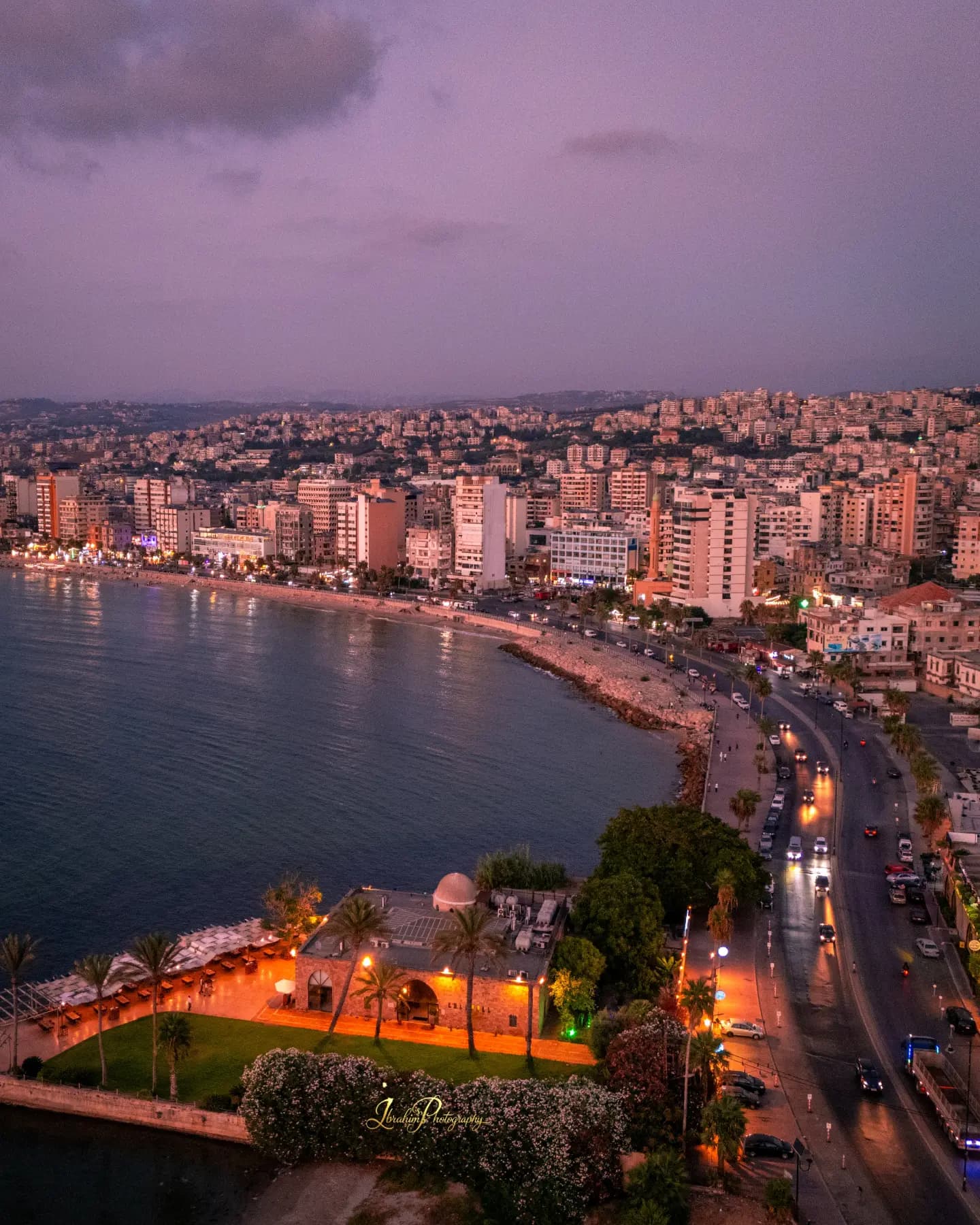
The UN-Habitat and UNICEF neighbourhood profile remains one of the clearest public baselines for understanding property and housing conditions in Old Saida. Its study area covers 0.18 square kilometres and recorded 5,203 residents in 364 building clusters.
The survey found different average household occupancy levels among Lebanese, Palestinian and Syrian residents, with the highest figure among surveyed Syrian households. That matters for maintenance, service demand and any rehabilitation plan that assumes a building is simply an architectural object.
The profile was designed as a planning tool, not a real-estate valuation. It points readers toward the factors that shape durable property value: structural condition, infrastructure, tenure security, neighbourhood services and the ability of residents to remain in place.
Because the underlying fieldwork predates today’s market, its figures should be read as a baseline and checked against newer municipal and transaction data before making a property decision.